Case Studies

Case studies: measured results from the field

See how Hyperion, the EOS2 LiDAR sensor and STACguard perform at real operations, from survey-grade coal inventory at a cement plant to hourly feed data at a dairy.

0.55%Variance vs. certified terrestrial survey
< 20 minComplete scan & processing time
>$160kTicket-based inventory gaps observed
HourlyFeed inventory data at Alliance Dairies

Results

Stockpile monitoring and LiDAR case studies

Each study documents the site, the challenge and the result, using data from the operation itself.

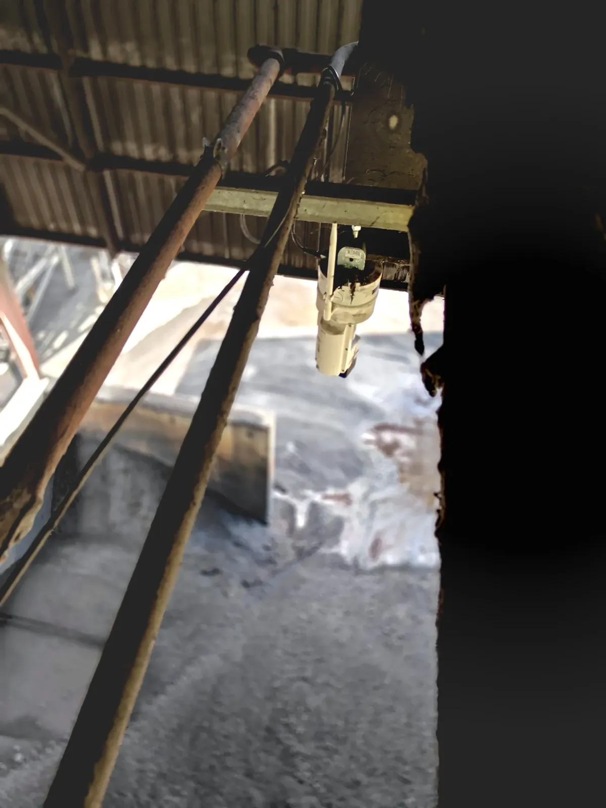
EOS2 LiDAR sensor installed above the indoor coal stockpile at the Newberry, Florida cement plant
Cement
0.55%

Survey-grade coal inventory at a Newberry, FL cement plant

Four permanently installed EOS2 LiDAR scanners on overhead trusses measured an indoor coal stockpile. Hyperion completed the scan and processing in under 20 minutes during normal operations, with no downtime, and its mass estimate came within 0.55% of a certified third-party terrestrial survey.

Read the cement plant case study
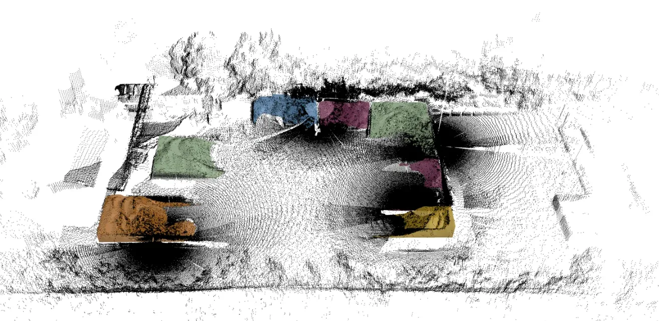
Hyperion LiDAR point cloud of the Quikrete Ocala ready-mix plant with each aggregate bin highlighted
Ready-Mix
>$160k

Inventory accuracy at the Quikrete Ocala ready-mix plant

At this high-volume plant, relying on truck tickets alone hid costly discrepancies, with more than $160k in ticket-based gaps observed. In control tests, Hyperion measured 76.23 st against 81.16 st ticketed (6%) and 82.3 st against 85.82 st (4%). The full system cost $6,600 up front, covering hardware, network setup, installation and the first month, then $675 per month.

Read the ready-mix case study
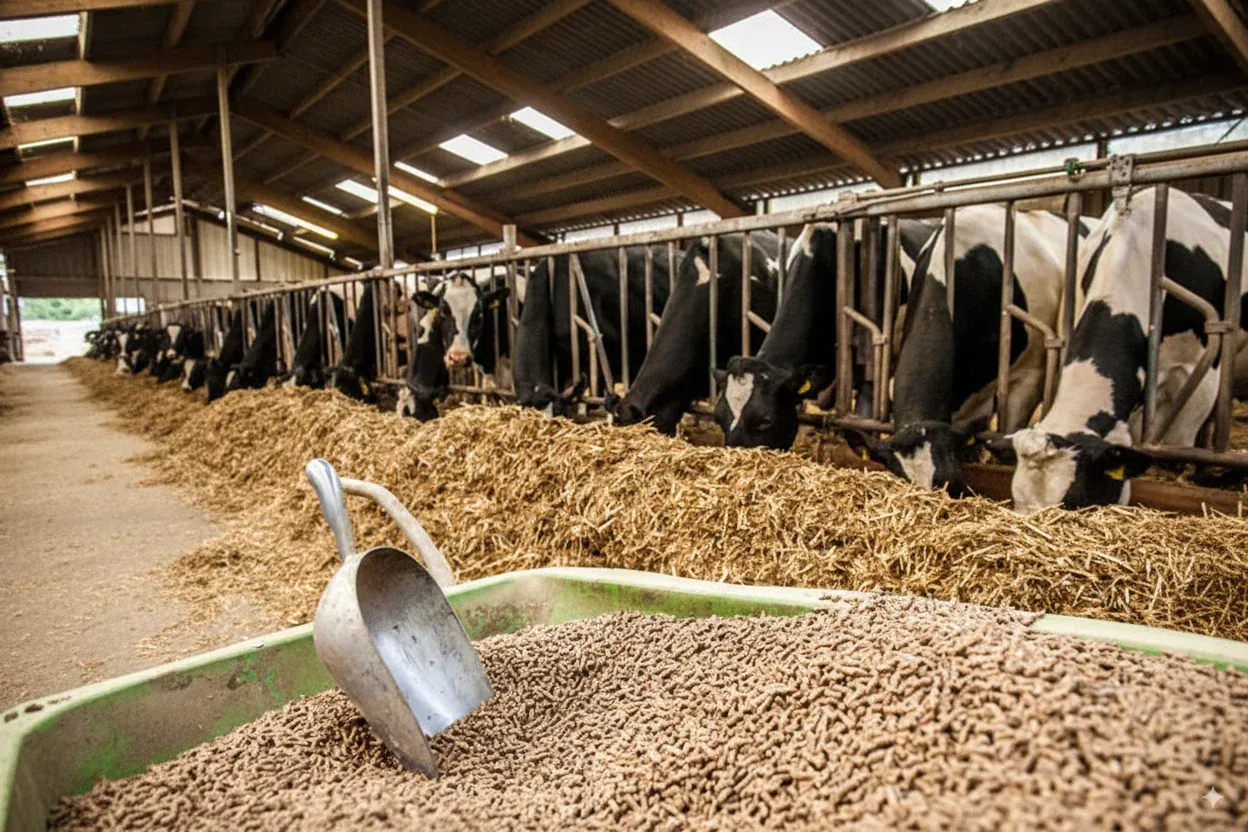
Dairy barn feed bunk with pelleted feed
Dairy
Hourly

Real-time feed inventory at Alliance Dairies

Hourly Hyperion scans give Alliance Dairies an accurate picture of feed inventory without sending anyone out to check levels, streamlining ordering, helping prevent ingredient shortages and improving confidence in daily planning.

Read the Alliance Dairies story
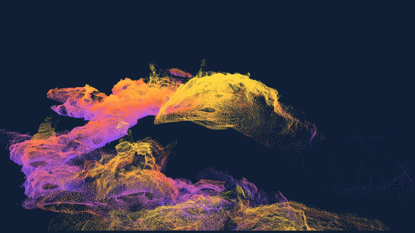
3D point cloud of a Bat Cave passage mapped with the EOS2 LiDAR sensor
EOS2 LiDAR
3D

Mapping the Bat Cave with the EOS2 LiDAR sensor

Traditional cave maps are flat and often inaccurate. Walking the cave with a portable EOS2 sensor, the team captured nearly 600,000 data points and stitched them into an interactive, measurable 3D model of the entire cave on a hobbyist budget.

Read the cave mapping story

Testimonials

What our customers say

Feedback from the operations running Hyperion and STACguard.

Hyperion provides hourly scan data that gives us an accurate, real-time picture of our inventory without needing to send someone out to manually check levels. This has significantly reduced guesswork and saved us countless trips to the Feed Center. It's streamlined our feed ordering process, helped prevent ingredient shortages, and improved our confidence in daily planning.
Jan HendersonAlliance Dairies
The ability to customize the base package easily for multiple source applications is a refreshing alternative to the traditional "help desk", order placement, three week wait, costly option. If you are not using this system for your CEMs, data tracking, recordkeeping, and reporting needs, you should be!
Bill KisselDirector, Environment & Land, Titan America LLC (STACguard)
Everything is good here. Use me as a satisfied customer.
Mark GorhamMaintenance Supervisor/Manager, Hampton NASA Steam Plant

Contact

Get results like these

Tell us about your materials, site or compliance needs and we will show you what to expect.