Case Study: EOS2 LiDAR
Mapping the Bat Cave with the EOS2 LiDAR sensor
How a small team used the EOS2 to build a measurable 3D map of a complex cave system on a hobbyist budget.
The challenge
Mapping the unseen
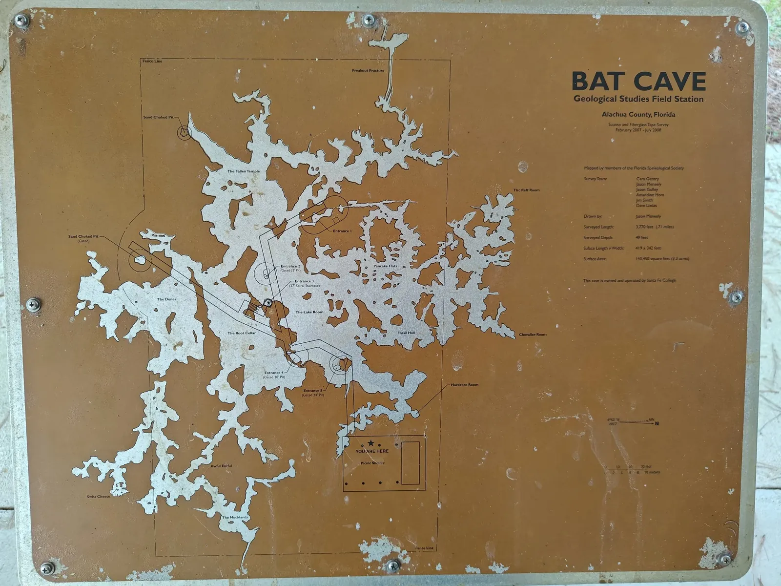
The only map of the Bat Cave was a flat diagram on a sign outside the entrance. Useful for orientation, but it says nothing about ceiling height, passage shape or volume, and it is only as accurate as whoever drew it.
For cavers and researchers, understanding the true 3D structure of a cave is what matters. Until recently that meant bulky, expensive equipment. The team's goal was simple: produce a high-fidelity 3D model with a low-cost LiDAR sensor.
The approach and the result
A digital twin of the cave
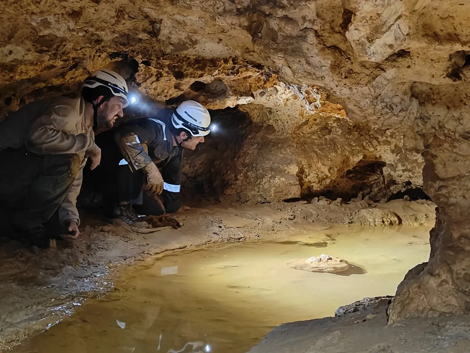
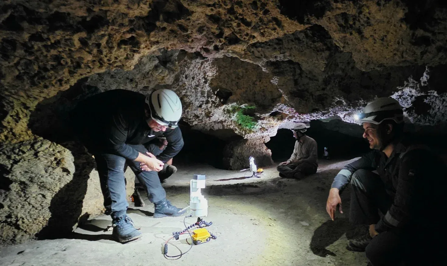
The team carried the portable EOS2 through the cave, setting it on the floor and running a spherical scan at each stop from a portable battery. Each scan captured the walls, floor and ceiling around it, including every crack and overhang a photograph would miss.
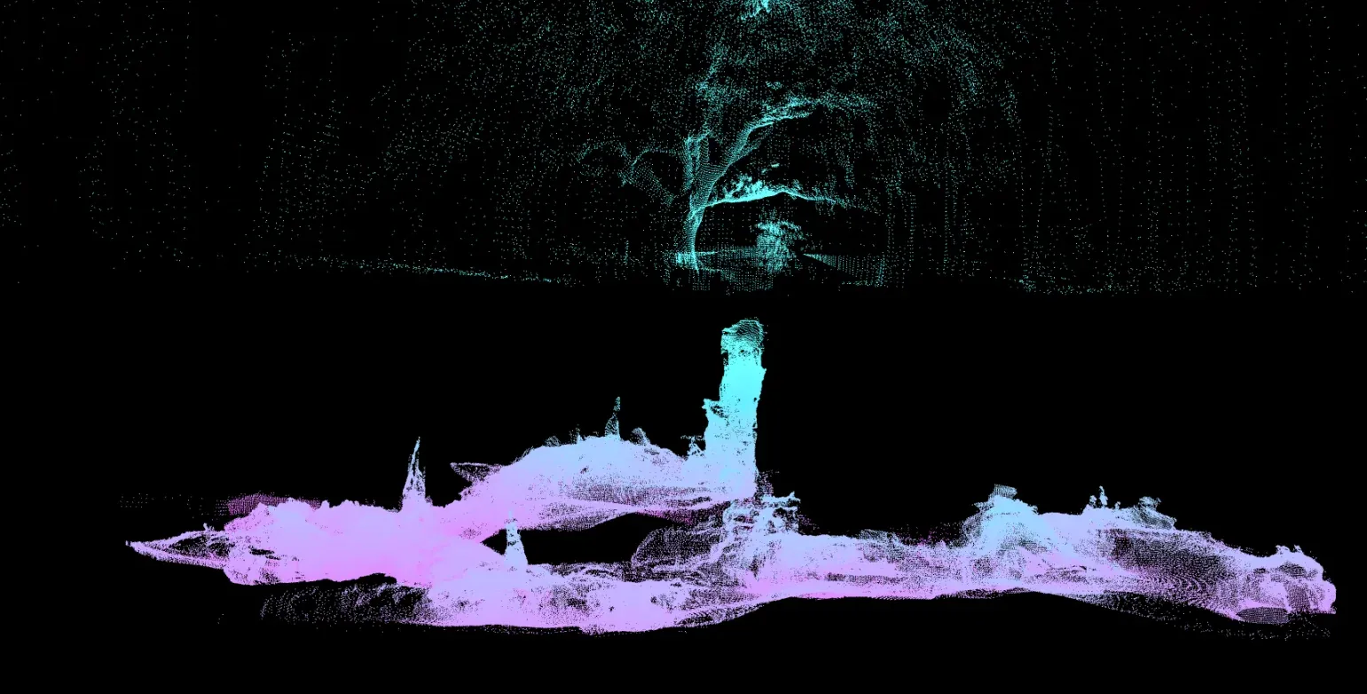
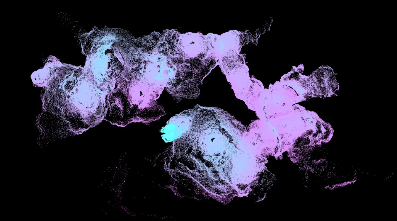
The individual scans, nearly 600,000 data points in all, were stitched into a single point cloud of the whole cave: interactive, measurable and shareable. It is a volumetric record suitable for speleology, documentation and virtual exploration, and the team could review it in more detail than they had ever seen the cave before.
Gallery
From the entrance sign to the point cloud
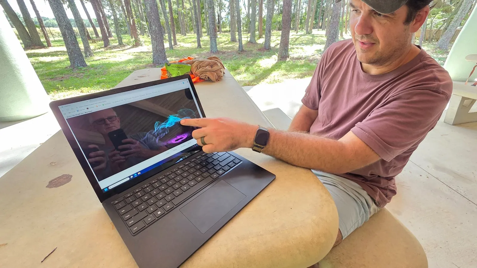
Photos from the scanning trip and the finished 3D model.
Select an image to enlarge it.
Related
Contact
Plan your own scanning project
Tell us what you want to capture, and we will help you plan scan positions and choose the right equipment.
- +1 352-283-8003
- info@altamusinc.com
- 4936 SW 91st Ter M102
Gainesville, FL 32608